The Fastest Way Across Major Cities Without Relying on Roads
Road travel still shapes how most people think about getting around a city. It just doesn’t work that way anymore. In London, Los Angeles, or New York, congestion turns even short distances into something unpredictable. A route that looks simple on a map can quietly double in time once you’re in it. That gap between expectation and reality is where most time gets lost. The fastest way across a city is usually the one that avoids streets entirely. You just have to know where to look.
Underground Rail: The Most Reliable Shortcut
If you want consistency, go underground. Subway and metro systems move independently of everything happening above them, which is exactly the point.
In London, the Elizabeth line cuts across the city in minutes. In New York, the subway moves between boroughs without slowing for traffic lights or bottlenecks. That’s what makes the difference. You’re not guessing how long it might take; you already know.
Urban Rail That Skips the Street Level
Not every fast route sits below ground. Some of the most efficient ones run straight through cities, untouched by road traffic.
Berlin’s S-Bahn and Sydney’s rail network both move quickly across long distances with minimal stops. In the Bay Area, BART gets from downtown San Francisco to Oakland in just over 10 minutes. Try doing that by car at rush hour. These systems don’t just move faster. They move without friction, and that changes everything.
Water Routes That Avoid Gridlock
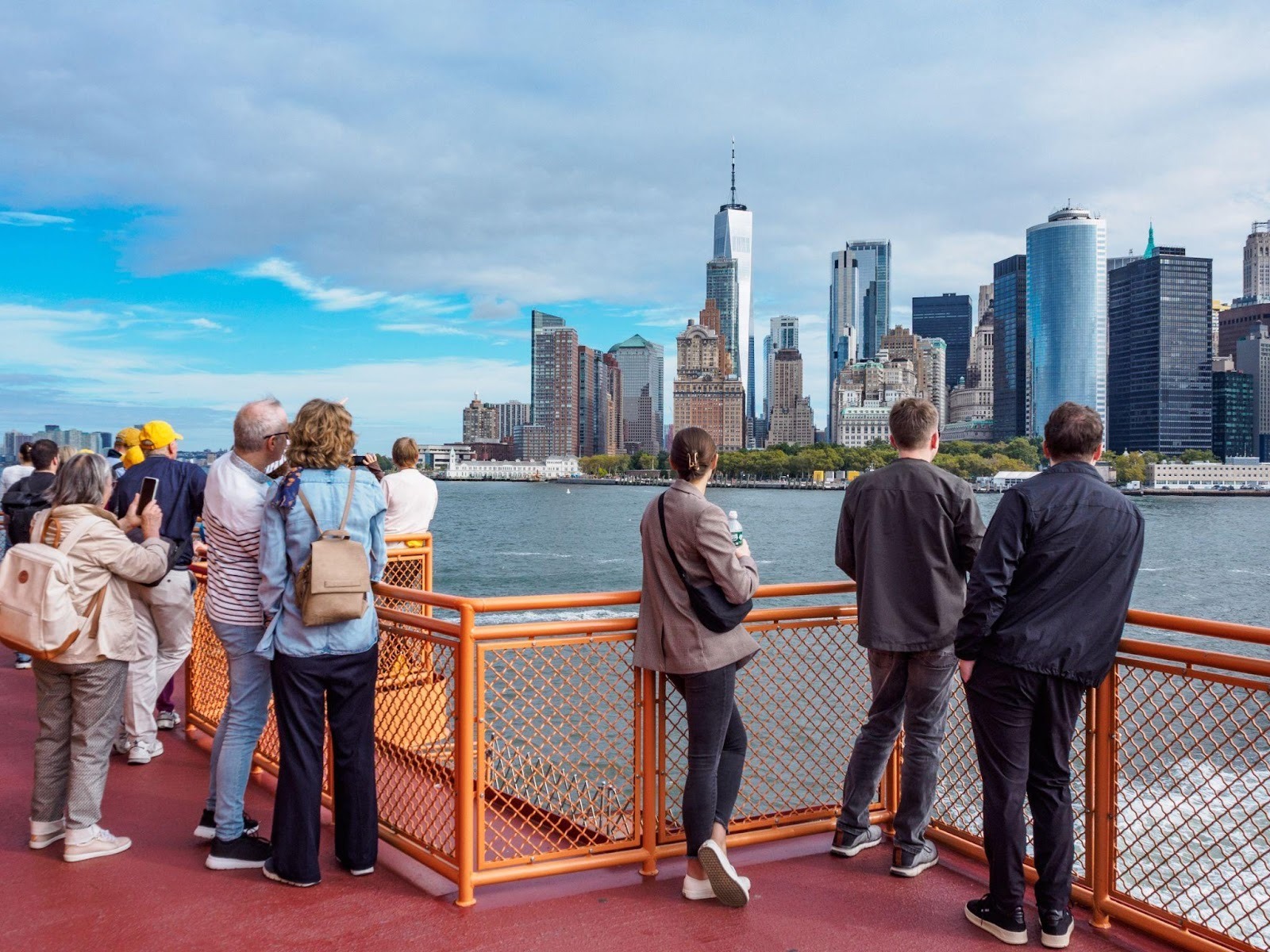
Then there’s the option most people overlook. Water. In Istanbul, ferries cross the Bosphorus while traffic builds on the bridges above. In Bangkok, river boats continue moving through parts of the city where roads regularly stall. It’s not a workaround, it’s a parallel system.
New York’s ferry network works the same way—while traffic queues along the FDR, boats keep a steady pace down the East River with no signals, no detours, and no delays.
Private Charter and Helicopters for Direct City Transfers
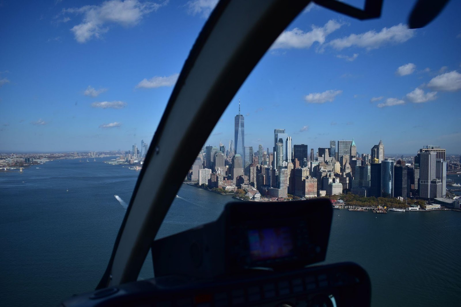
Sometimes the fastest route is the one that ignores the city layout completely. That’s where air travel comes in. In New York or Los Angeles, helicopter transfers reduce journeys that would take over an hour on the ground to under 15 minutes. Manhattan to JFK can take less than 10 minutes when conditions are clear. That’s not a marginal gain, it’s a complete shift in how the journey works.
Private charters operate from smaller terminals and helipads, so there’s no waiting around large transport hubs. In practical terms, arranging a helicopter charter turns a cross-city trip into something fixed and direct, rather than something shaped by traffic you can’t control.
Cable Cars and Elevated Shortcuts
Some cities solve the problem by going above it—literally. In La Paz, cable cars connect neighbourhoods that would otherwise require long, difficult drives through steep terrain. Medellín uses a similar system to link hillside areas with its metro.
These routes save time and remove the constraints that roads create in the first place.
Cycling Where Infrastructure Supports It
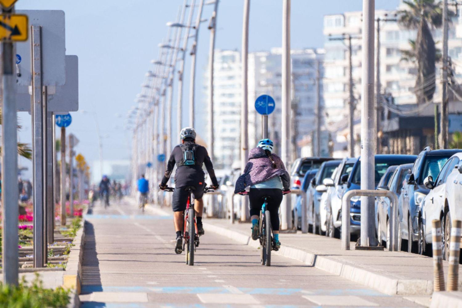
On shorter routes, the simplest option often wins: Cycling, when the infrastructure is right, can move faster than any car stuck at an intersection. In parts of New York and London, dedicated lanes allow for continuous movement, preventing waiting and stop-start rhythm. Riding from Lower Manhattan to Midtown during peak hours can take less time than sitting in a taxi watching the same block repeat.
Walking When It Makes More Sense
And then there’s the option people tend to dismiss too quickly. Walking. In dense areas like Manhattan, central Paris, or parts of Chicago, distances are shorter than they appear. A 15-minute walk often beats a car once you factor in waiting time, traffic, and the inevitable delays that come with both. This is where the map lies to you. What looks inconvenient on a screen is often straightforward on foot.
Airport Links That Bypass the Roads
If there’s one place where this becomes obvious, it’s airport transfers. Rail links in cities like Chicago, London, and Hong Kong connect directly to central districts without touching highway traffic. They run on fixed schedules, which means no surprises.
When timing matters, that reliability is hard to ignore. You either arrive when expected, or you don’t. Roads don’t guarantee that anymore.
Choosing the Right Option in Each City
There isn’t a single answer that works everywhere. The fastest option depends on distance, timing, and how the city is built.
Underground systems work best in dense centres. Rail networks handle longer distances. Water routes make sense in coastal cities. And when time is tight, air travel can reduce a journey to something far more manageable.
The key is knowing that the default option isn’t always the right one.
Moving Smarter Through Cities
Time changes how a city feels. Spend enough time in traffic and everything starts to shrink. What you can see, where you go, and how much you fit into a day. The fastest way across a city is rarely the obvious one. It runs below the surface, above the skyline, or alongside the water. Occasionally, it skips the system entirely. Once you start moving that way, the difference is immediate.